This is a circular walk of just under 5 miles from Lelant to Carbis Bay.
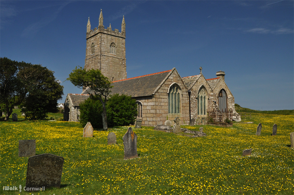
The route follows St Michael's Way from Lelant past St Uny's church to the dunes. Lelant was originally a port town, thought to be located approximately where the dunes are now. The encroaching sand caused the village to move to its present location. There was also a chapel, dedicated to St Anta, which has since disappeared. When the dunes where excavated to build the railway, the remains of a building were found and at the time this was thought could be the lost chapel of St Anta. The location of the building is now lost so this cannot be verified, and it has been pointed out that the site of the current church (on the highest point) is also a candidate location for the former chapel.
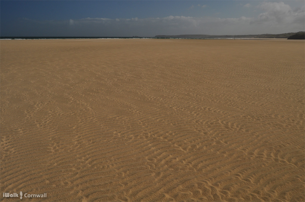
The coast path runs along the edge of the dunes to Hawke's Point and alongside the railway Carrack Gladden. At low tide, it's possible to walk across Porth Kidney Sands to reach the headland.
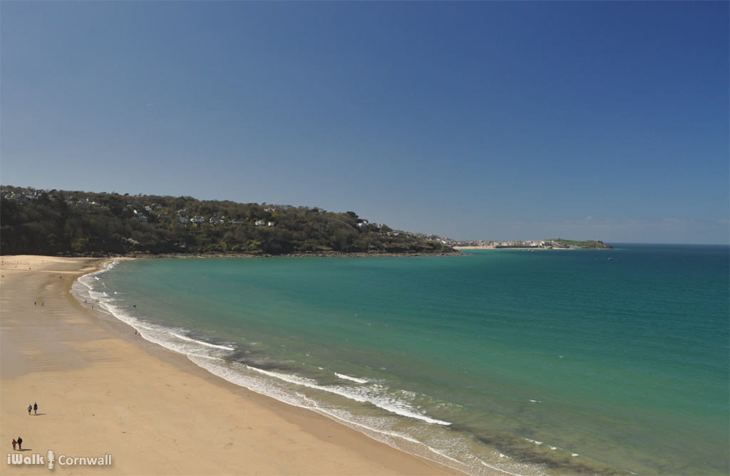
The route continues along St Michael's Way to Carbis Bay. The beach has a particularly good range of seashells including oysters, from which the mother-of-pearl becomes exposed as the outer shell is polished away by the sea.
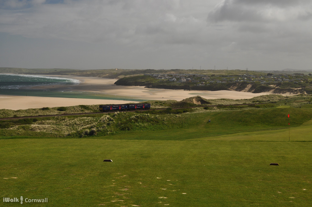
At Carbis Bay, route crosses the railway and then follows footpaths parallel to the railway back to the West Cornwall Golf Course.
Footpaths and small lanes complete the circular route.
The walk is available as a guided walk app for Android and will be available in the iWalk app for iPhone in the next few days.