This is a walk of just under 7 miles with a pretty strenuous section along the coast for the second mile with lots of steps to climb. Once you've done this, the rest of the walk runs very gently downhill to Portreath with a final climb up Lighthouse Hill to finish.
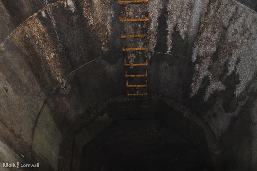
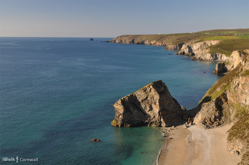
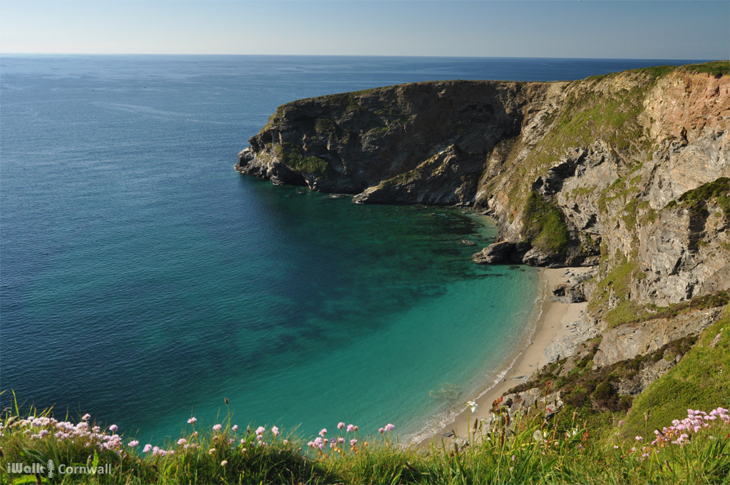
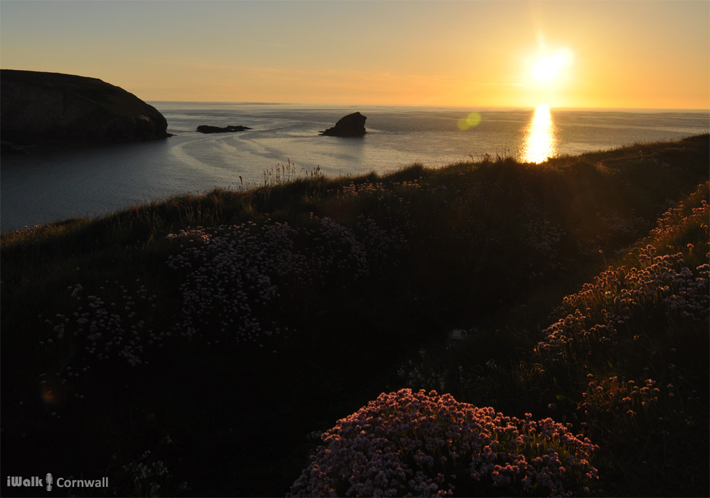
The route initially follows the coast path from Portreath towards Porthtowan passing the small coves and remnants of the clifftop mines. A couple of the shafts have been capped with small hut-like structures and you can see down the shafts through the bars. During Georgian and Victorian times, teenage girls (bal maidens) would have been out in here in large numbers but back then “snapchat” consisted of gossip whilst breaking the ore with hammers. There are still small pieces of tin and copper ore scattered amongst the waste tips.
The route turns inland at Tobban Horse and follows small lanes across Nancekuke Common, skirting the perimeter fence of the airfield.
The route then joins the Mining Trail back to Portreath which was once a tramway along which goods were shipped to and from the port. The trucks ran on L-shaped tracks and allowed a much larger quantity of goods to be moved with each mule (which until that point were needed in such vast numbers that the fodder was becoming prohibitively expensive).
From the Portreath Arms Hotel, the final part of the route passes the harbour and climbs Lighthouse Hill. The “lighthouse” never had a light, but served as a daytime navigation aid and also provided a lookout for Customs officers to keep an eye on smugglers as the many inaccessible coves surrounding Portreath were ideal to conceal contraband. The narrow inlet of Ralph’s Cupboard, just around the headland opposite, is thought to take its name from the smuggler who used it regularly.
The walk is available as a guided walk app for Android and also available in the iWalk app for iPhone.
There are a few other less steep Portreath walks on the iwalknorthcornwall website.