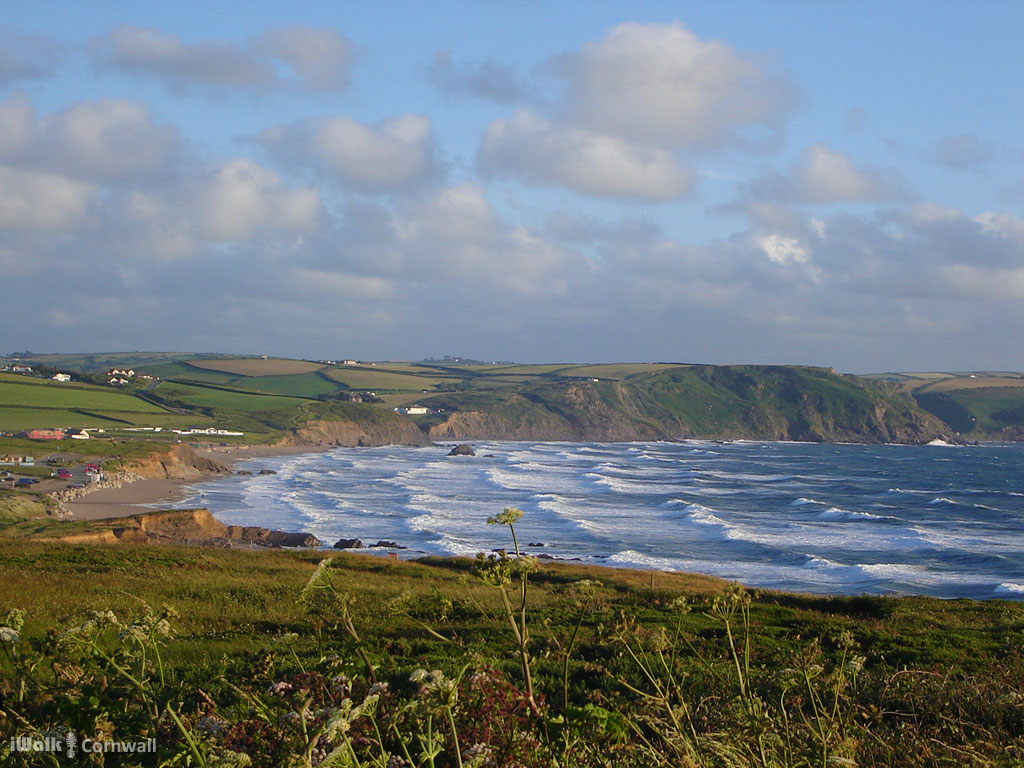
This is a one-way coastal walk from Crackington Haven to Widemouth Bay using the bus to make the route circular. We advise doing the bus journey first so that you're under no time pressure on your walk.
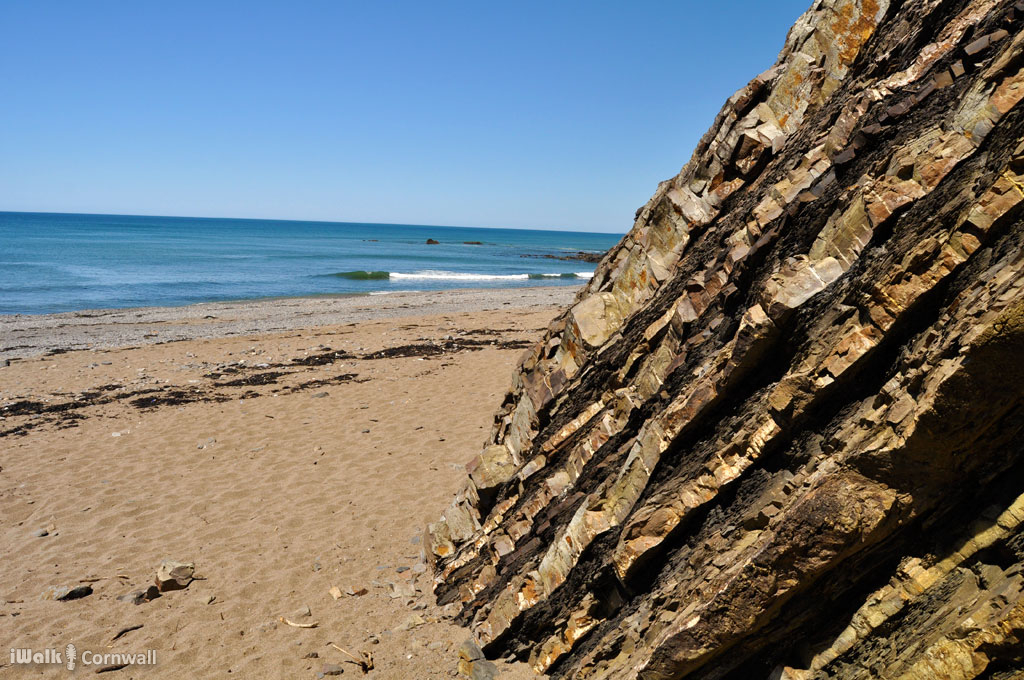
As you move East along the North Cornish coast, the rocks get slightly younger. Around Delabole, the slates were laid down in the Devonian period when Cornwall was at the bottom of a deep ocean between the two continents that existed at the time and particles of fine mud settled to form the dense slate that is so good for roofing. As you move towards Boscastle and Crackington, the two continents were moving together and the sea was getting shallower so trilobite fossils start to appear in the slates of Boscastle. Crackington, at the start of our walk, has beds of limestone and shale laid down during the Cretaceous period, such as the one below at Wanson Mouth.
The layers of shale often contain fossils of creatures from the shallow seas such as shellfish. As the two continents continued to collide, the rocks were buckled under the force and the wrinkles gave rise to the high ground of Bodmin Moor. At Millook Haven, the result is geological origami.
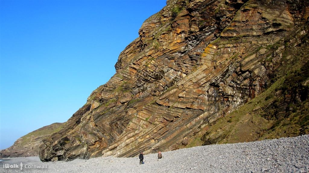
Where the rocks have been eroded by the sea, the soft layers of shale or sandstone have worn away just leaving the harder limestone in the upended rock strata forming lines of razorblade-like reefs running out into the sea. The result is that this area was exceptionally dangerous for shipping, particularly as there are no safe ports nearby to flee from a gale. Bude was about the best option but the exposed, west-facing beaches around Bude have some massive surf when there is a strong westerly swell. Many ships were driven aground and lost and the area became known as the Shipwreck Coast.
The walk is available as a guided walk app for Android and also the iWalk app for iPhone.
There are also a number of other circular walks in the Bude area on the iwalknorthcornwall website.